
Keyword
Research Voyage: IN2017_V05
13 record(s)
Type of resources
Topics
Keywords
Contact for the resource
Provided by
Formats
Update frequencies
Status
draft
-
This record describes sub bottom profiler data collected on RV Investigator voyage IN2017_V05, 'Long-term recovery of trawled marine communities 25 years after the world's largest adaptive management experiment', which departed Broome on the 11 October 2017 and returned to Henderson on the 10 November 2017. The Kongsberg SBP120 (sub bottom profiler) was used to acquire data containing the specular reflections at different sediment interfaces below the seafloor. The SBP120 provides a 3° by 3° angular resolution. The echosounder's frequency sweep range is from 2.5 to 7 kHz. The SBP120 was logged continuously for the extent of the voyage. Data are stored in *.raw 998 files 130 GB raw and *.segy 998 files 130 GB segy formats at CSIRO. The segy format data had a real time processing stream applied, which applies a seabed mute, a bandpass or matched filter dependent on pulse type, and a time variable gain. All *segy files were processed using Seismic Unix. The segy files are converted to *.su format, projected using suutm, trace shifted using sushift and the source coordinates copied to the group coordinates. The su data are written back to segy with utm zone number stored in byte 21 and group coordinates in byte locations 81 and 85. Additional information regarding this dataset is contained in the GSM data acquisition and processing report. Additional data products may be available on request
-
This record describes gravity data collected on RV Investigator voyage IN2017_V05, Long-term recovery of trawled marine communities 25 years after the world’s largest adaptive management experiment, which departed Broome on the 11 October 2017 and returned to Henderson on the 10 November 2017. The gravity meter instrument is a MicroG Lacoste Air-Sea II. Data are stored in .ENV and .DAT data files at CSIRO. There are 23 files totalling 350 MB of raw data in this dataset. A wharf tie was unable to be completed in Broome due to logistical constraints. No processing has been conducted on this data. Additional information regarding this dataset is contained in the GSM data acquisition and processing report.
-
This record describes multibeam echosounder data collected on RV Investigator voyage IN2017_V05, Long-term recovery of trawled marine communities 25 years after the world’s largest adaptive management experiment, which departed Broome on the 11 October 2017 and returned to Henderson on the 10 November 2017. The Kongsberg EM710 multibeam echosounder was used to acquire seafloor bathymetry and backscatter information and watercolumn backscatter around the Northwest Shelf. The EM710 provides a 0.5° by 1° transmit and receive angular resolution respectively. The echosounder's nominal frequency range is from 70 to 100 kHz. Data are stored in *.all raw format for bathymetry and backscatter and *.wcd format for watercolumn backscatter at CSIRO. There are 1436 files totalling 177GB of raw *.all data and 483 water column *.wcd files totalling 438 GB of data in this dataset. Sound velocity profiles were applied to this data during data acquisition. Bathymetry data contained in *.all format is corrected for motion and position. Tide corrections were applied to the processed data using GPS tides in CARIS 10.3. Processed data had outliers removed. Processed line data are available in *.gsf and ascii format, and processed bathymetry and backscatter grids in geotiff format. Additional information regarding this dataset, including further information on processing streams, is contained in the GSM data acquisition and processing report. Additional data products may be available on request.
-
This record describes multibeam echosounder data collected on RV Investigator voyage IN2017_V05, Long-term recovery of trawled marine communities 25 years after the world’s largest adaptive management experiment, which departed Broome on the 11 October 2017 and returned to Henderson on the 10 November 2017. The Kongsberg EM122 multibeam echosounder was used to acquire seafloor bathymetry and backscatter information for two periods between Broome and Henderson when water depths exceeded 500 meters. The EM122 provides a 1 degree by 1 degree angular resolution. The echosounder's nominal frequency is 12 kHz. Data are stored in *.all raw format for bathymetry and backscatter at CSIRO. There are 28 files totalling 1.1 GB of raw data in this dataset. Sound velocity profiles were applied to this data during data acquisition. Bathymetry data contained in *.all format are corrected for motion and position. Tide corrections were applied to the processed data using GPS tides in CARIS v10. Processed data had outliers removed. Processed line data are available in *.gsf and ascii format, and processed bathymetry and backscatter grids in geotiff format. Additional information regarding this dataset, including information on processing streams, is contained in the GSM data acquisition and processing report. Additional data products may be available on request.
-
This record describes scientific split-beam echosounder data collected on the RV Investigator voyage IN2017_V05, Long-term recovery of trawled marine communities 25 years after the world’s largest adaptive management experiment, which departed Broome on the 11 October 2017 and returned to Henderson on the 10 November 2017. The Simrad EK60 split beam echosounders, 18, 38, 70 120, 200 and 333 kHz were used to acquire acoustic backscatter data to a range of 100 m, around the Northwest Shelf. All frequencies were logged continuously for the extent of the voyage. Data are stored in *.raw, *.bot and *.idx format at CSIRO. There are 1041 *.raw files totalling 55.6 GB of raw data in this dataset. No processing has been conducted on this data. Additional information regarding this dataset is contained in the GSM data acquisition and processing report. Additional data products may be available on request.
-
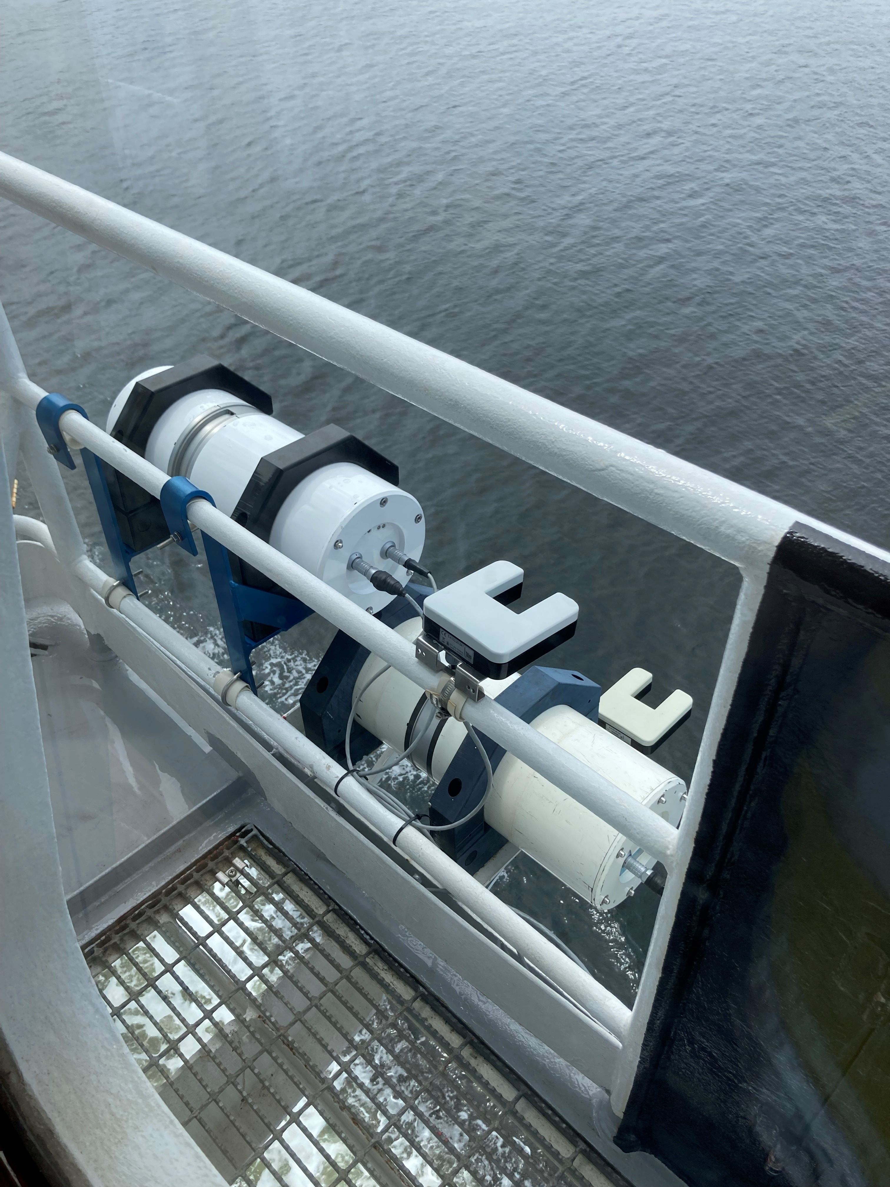
This record describes the Acoustic Doppler Current Profiler (ADCP) data collected from the Marine National Facility RV Investigator voyage IN2017_V05 titled: "Long-term recovery of trawled marine communities 25 years after the world’s largest adaptive management experiment." The voyage took place between October 11 and November 10, 2017 departing Broome (WA) and returning to Freemantle (WA). This dataset was processed and then archived within the CSIRO Oceans and Atmosphere (O&A) Information and Data Centre (IDC) in Hobart.
-
This record describes the Conductivity-Temperature-Depth (CTD) data collected from the Marine National Facility RV Investigator Voyage IN2017_V05, titled: Long-term recovery of trawled marine communities 25 years after the world’s largest adaptive management experiment. The voyage took place between October 11 and November 10, 2017 departing from Broome (WA) and arriving in Fremantle (WA). Data for 72 deployments were acquired using the Seabird SBE911 CTD unit 23, fitted with 36 twelve litre bottles on the rosette sampler. Sea-Bird-supplied calibration factors were used to compute the pressures and preliminary conductivity values. CSIRO -supplied calibrations were applied to the temperature data. The data were subjected to automated QC to remove spikes and out -of-range values. The final conductivity calibration was based on a single deployment grouping. The final calibration from the primary sensor had a standard deviation (S.D) of 0.0012983 PSU, within our target of 'better than 0.002 PSU'. The standard product of 1dbar binned averaged were produced using data from the primary sensors. The dissolved oxygen data calibration fit had a S.D. of 0.6416µM. The agreement between the CTD and bottle data was good. The Biospherical photosynthetically active radiation (PAR), C-Star transmissometer, Aqua tracker Flurometer, ISUS Nitrate sensors were also installed on the auxiliary A/D channels of the CTD. Along with a Wetlabs Eco-triplet and a particle size analyser.
-
This record describes Hydrology (HYD) data collected collected from the Marine National Facility RV Investigator Voyage IN2017_V05, titled: Long-term recovery of trawled marine communities 25 years after the world’s largest adaptive management experiment. The voyage took place between October 11 and November 10, 2017 departing from Broome (WA) and arriving in Fremantle (WA). Hydrology samples were collected from Niskin bottles sampled at various depths during a Conductivity-Temperature-Depth (CTD) deployment. Parameters analysed were salinity, dissolved oxygen, phosphate, silicate, nitrate plus nitrite and ammonium. Underway samples were also collected every 12 hours (or once every 24 if a CTD coincided with collection time) for nutrient analysis from the underway system which collects water from 7 m depth and is not filtered. This dataset has been archived at the CSIRO O&A Information and Data Centre (IDC) in Hobart. Additional information regarding this dataset is contained in the Voyage Report and Data Processing Report.
-
This record describes the Underway (UWY) data collected from the Marine National Facility (MNF) RV Investigator Voyage IN2017_V05, titled: "Long-term recovery of trawled marine communities 25 years after the world’s largest adaptive management experiment." The voyage took place between October 11 and November 10, 2017 departing from Broome (WA) and arriving in Fremantle (WA). Standard Underway data is continuously recorded, consisting of: (1) Navigation data (NAV): Latitude, Longitude, Speed, Heading, Course Over Ground, Gyros, and Doppler Log (dual GPS instrument). (2) Thermosalinograph (TSG): Water Salinity, Flow-Rate, Temperature, Fluorescence, pCO2, Optode temperature and Oxygen. (3) Atmospheric (MET): Humidity, Wind Speed and Direction (vane and ultrasonic), Radiometer/Sea Surface Temperature, Pyranometer/Solar Radiation, Photosynthetically Active Radiation (PAR), Air Temperature, Air Pressure, Rain, Ozone and Trace Gases (port and starboard instruments). Data are recorded at 5 second intervals. Near real-time data are available via the link "Visualisation tool for Underway Data." This dataset has been processed and archived within the CSIRO Oceans & Atmosphere (O&A) Information and Data Centre (IDC) in Hobart (TAS). Data are available at time intervals of 5 sec (NetCDF format), 10 sec and 5 min (csv format). Additional information regarding this dataset is contained in the Voyage Summary and/or the Data Processing Report for this voyage.
-
This record describes the ISAR/SST Sea Surface Temperature data collected on the RV Investigator Voyages from 2014 onwards. The infrared SST autonomous radiometer (ISAR) is a self-calibrating instrument capable of measuring in situ sea surface skin temperature to an accuracy of 0.1 K. The SST Radiometer is mounted on the port bridge wing, approximately 19.593m above the summer load line. The RV Investigator ISAR skin SST data are also supplied both in real-time (http://thredds.aodn.org.au/thredds/catalog/IMOS/SOOP/SOOP-ASF/VLMJ_Investigator/meteorological_sst_observations/catalog.html) and in delayed mode after reprocessing (e.g., http://thredds.aodn.org.au/thredds/catalog/IMOS/SOOP/SOOP-ASF/VLMJ_Investigator/meteorological_sst_observations/2016/ISAR-QC/catalog.html). These reprocessed files will be particularly valuable for satellite SST validation (as the ISAR measures SST at the same depth as measured by satellites) and are currently (2017) being used by EUMETSAT for Sentinel-3 SST validation and to JMA and Oceans University China for Himawari-8 SST validation. Further information can be found in the data and documentation links below.